A storm that swept through the area tapered off early Tuesday afternoon after bringing around 2 inches of rainfall.
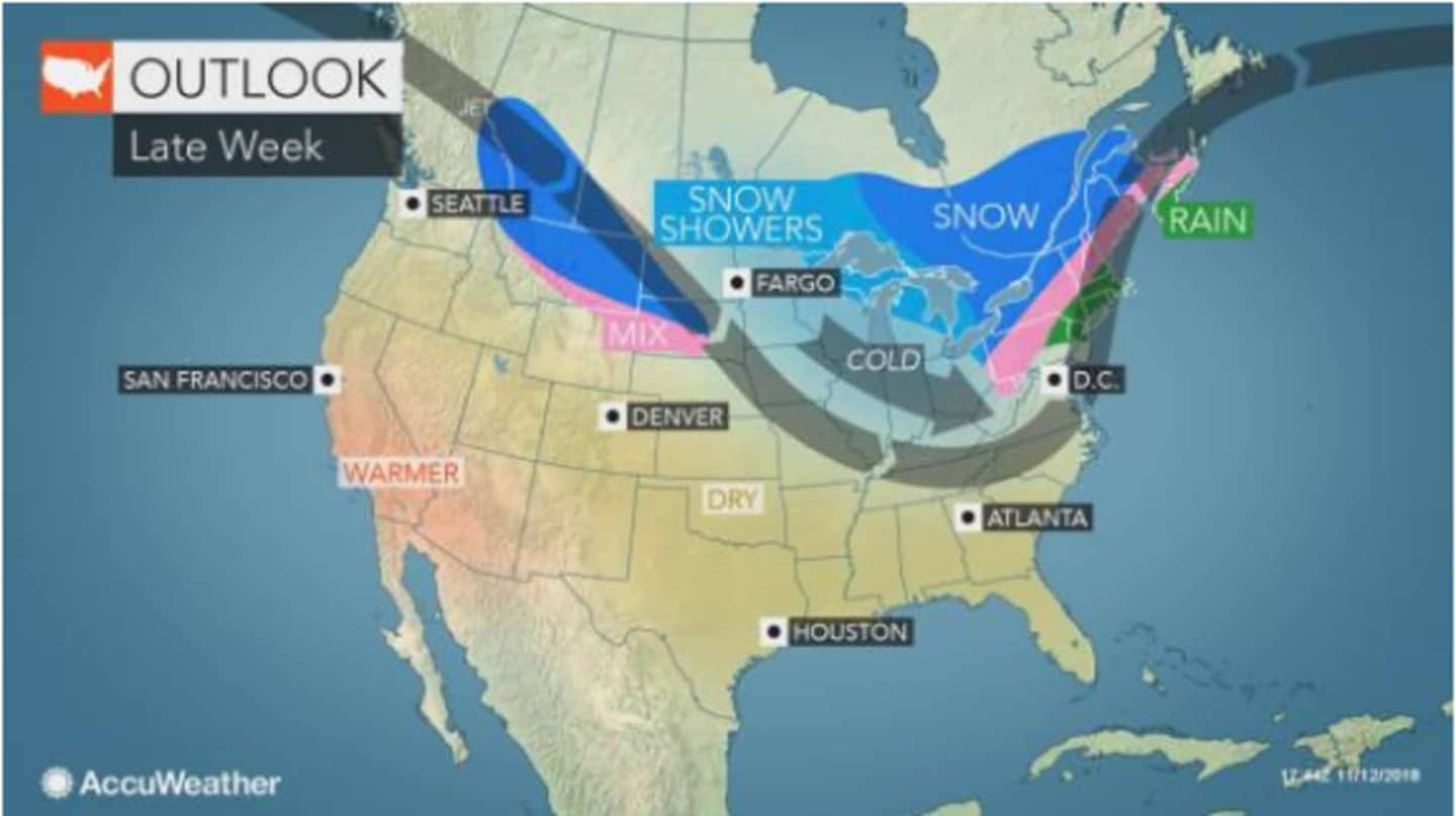
But later this week, a Nor'easter that will hit the area Thursday into early Friday will have something of everything: namely, rain, sleet and the first accumulating snowfall of the season.
After a mostly sunny day on Wednesday with a high temperature around 40, the chance for a wintry mix starts late in the morning Thursday on a day in which the high temperature will be in the mid-30s.
Afternoon showers will be followed by a chance of rain and snow showers late in the afternoon until early Thursday evening.
Areas north of I-287 and the Merritt Parkway will then see snow between 7 p.m. Thursday and 1 a.m., followed by a mix of snow and sleet and then all rain by dawn. Those areas could see up to 2 inches of snowfall.
Areas farther south will see about an inch of snow and sleet accumulation Thursday and Thursday night.
North of I-84, sleet could continue until around 10 a.m. Friday.
The entire region will see rainfall late Friday morning into the early afternoon as the high temperature climbs into the mid-40s.
Saturday will be mostly sunny with a high in the mid-40s.
There is still some uncertainty regarding the strength of the Nor'easter. Check back to Daily Voice for updates.
Click here to follow Daily Voice Tarrytown-SleepyHollow and receive free news updates.