In this region, all or mostly rain will fall. It is possible, when it rains hard, that wet snowflakes or a dash of sleet may be mixed in, according to AccuWeather.com.
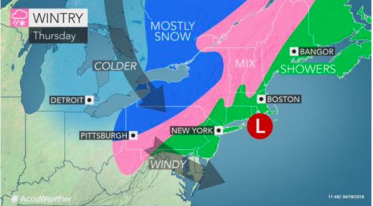
Because the storm will be fast-moving, the amount of accumulating snow will be limited to a coating to 2 inches in the areas where temperatures will be at or below the freezing mark. (See image above.)
Rain is expected to arrive after 2 a.m. Thursday and continue throughout the day in which the high temperature will be in the upper 40s. Rainfall of between a tenth and quarter of an inch is possible, says the National Weather Service.
Rain could linger Thursday night before finally ending in the early morning hours of Friday.
Skies will gradually clear Friday with partly sunny skies and a high around 50.
As for those northern areas that see snow, it may not be over even after Thursday's storm.
"People from northern New York state to northwestern New England may still have another snow event or two into May," according to AccuWeather Lead Long-Range Meteorologist Paul Pastelok.
Check back to Daily Voice for updates.
Click here to follow Daily Voice Tarrytown-SleepyHollow and receive free news updates.