The heaviest precipitation is scheduled to arrive after 9 p.m. up to 2 inches of rainfall is possible.
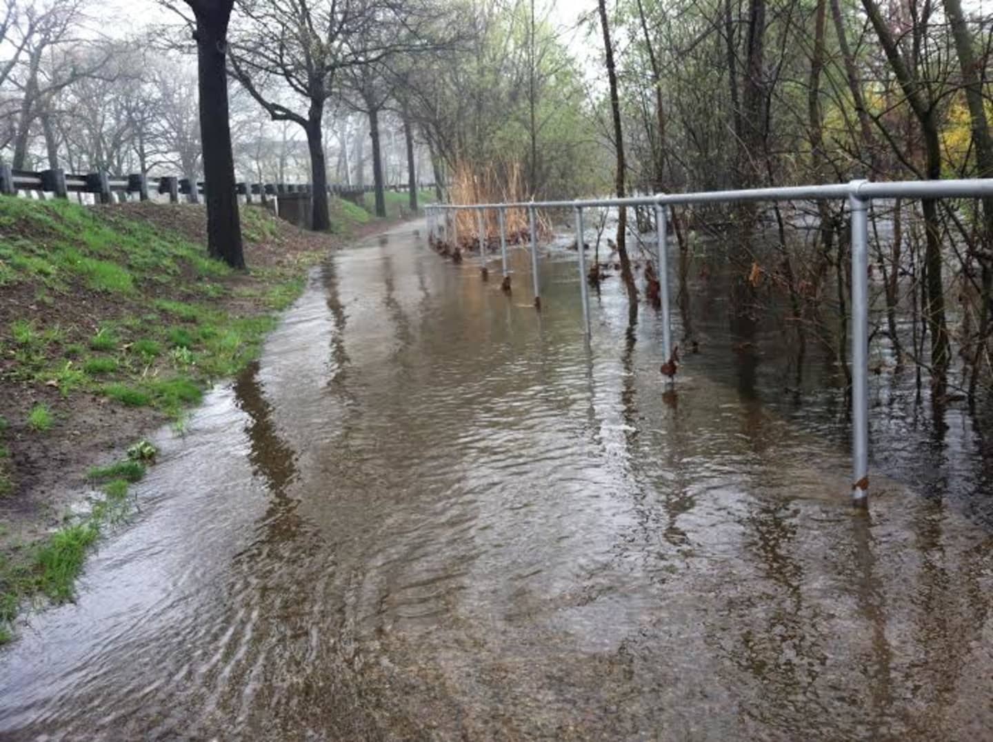
Showers and the threat of flooding will linger through Thursday with an additional 1-2 inches of rain possible.
The potential for localized heavy rain may trigger a flood watch from the National Weather Service, though there is not a watch in place at this time.
The wet weather will begin to exit the region on Thursday before clearing on Friday.
Click here to follow Daily Voice Tarrytown-SleepyHollow and receive free news updates.